In real estate, the biggest gains often appear in transitional neighborhoods showing real momentum—rising home prices, new amenities, active investment, and younger residents. This guide helps first-time buyers, move-up buyers, and investors spot areas poised for long-term growth, balancing rapid equity potential with risks…
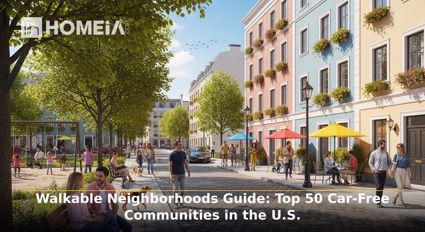
Walkable Neighborhoods Guide: Top 50 Car-Free Communities in the U.S.
- Local Editor:Local Editor: The HOMEiA Team
- Category: USA
The dream of ditching one—or even all—of your cars is no longer a fantasy. By 2026, it’s a financially savvy and lifestyle-driven goal for a growing number of Americans. Soaring costs of ownership (insurance, maintenance, and volatile gas prices), greater emphasis on sustainability, and post-pandemic reevaluation of daily life have converged to make car-light or car-free living a top priority. For remote workers, young professionals, downsizers, and retirees, the freedom of walking or biking to a coffee shop, taking reliable transit to a museum, and having daily essentials within short strolls translates to savings, improved health, and richer community connections.
This guide moves beyond city-wide generalizations to pinpoint specific U.S. neighborhoods and communities where a car-free life isn’t seen as only possible, but practical and pleasurable. We focus on the tangible fabric of daily life: density of amenities, quality of transit, and safety of streets for pedestrians and cyclists. To quantify, we utilize the common lenses of Walk Score (proximity to amenities), Transit Score (access to frequent, useful public transit), and Bike Score (quality of bike infrastructure). Our goal is to provide you with an actionable roadmap for a forever home, where your car gathers dust in a garage—or forgoing the expense altogether.
Key Takeaway
A move toward car-free living is accelerating, driven by cost, sustainability, and quality of life. This guide demonstrates that viable car-free communities exist across the U.S., not just in coastal megacities. They fall into three tiers: Elite Cities (like NYC & SF) with comprehensive networks; Strong Car-Light Cities (notably Pittsburgh & Atlanta) with standout neighborhoods; and Emerging Communities (featuring Oklahoma City & Greenville) building focused, walkable cores. Your choice will likely hinge on aligning your lifestyle with a neighborhood’s specific strengths—be it subway access, bike trails, or a walkable main street. Use our HOMEiA Car-Free Living Score as a starting point, but remember: the right community blends data with the daily experience of living there.
I. Methodology: How We Define a “Car-Free Community”
Selecting the top communities required looking beyond a single metric. A high Walk Score is meaningless if groceries are inaccessible, and a robust subway system doesn’t help if streets lack sidewalks.
Our HOMEiA Car-Free Living Score (0-100) is a composite index evaluating four pillars essential for truly reducing car dependence:
- Walking Convenience (30 pts): Density and proximity of daily necessities: grocery stores, pharmacies, healthcare clinics, schools, and cafes within a safe, comfortable 15-minute walk. We assess sidewalk continuity, pedestrian-scale street design, and crossing safety.
- Transit Quality (30 pts): Frequency, reliability, and reach of public transportation. This includes access to high-frequency bus routes, light rail, subways, and streetcars connecting residents to major employment centers, cultural districts, and other city neighborhoods without excessive transfers or long waits.
- Bike Infrastructure & Safety (20 pts): The presence of a protected, connected network of bike lanes, trails, and calm streets. We consider bike-share availability, secure parking, and how genuinely safe residents feel cycling for recreation and daily errands.
- Access to Daily Essentials (20 pts): A critical qualitative layer. Does the community have not only a few amenities, but the right ones for daily life? We seek a mix of full-service grocery stores (besides convenience stores), primary healthcare, parks, and community services, ensuring residents aren’t forced to drive for fundamental needs.
Data is synthesized from established walkability platforms, local transit agency performance metrics, city bike network plans, and on-the-ground assessments of amenity mix. These scores help us identify not only walkable pockets, but complete neighborhoods where you can realistically live, work, and thrive without owning a car.

Related article
Our Methodologies to create HOMEiA Score Ratings for Each Group of Content
HOMEiA uses a consistent, data-driven methodology to evaluate U.S. states for livability, affordability, and long-term value. Our analysis centers on key factors such as Housing and Affordability, Cost of Daily Living, Access and Infrastructure, Community Strength, Safety and Quality of Life, Economic Resilience and Job Market…
Tier 1: Elite Car-Free Cities & Neighborhoods (Top 10)
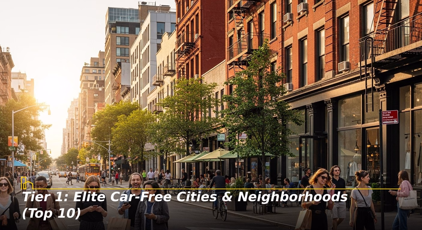
These cities offer the gold standard for car-free living in the U.S., with multiple neighborhoods boasting exceptional scores across all four pillars. Owning a car here is often an unnecessary expense.
1. New York, New York
Snapshot: The undisputed champion of American transit and walkability. Its density, iconic 24/7 subway system (MTA), and deeply ingrained pedestrian culture make car ownership a liability for most. Daily life is conducted on foot and below-ground.
- Walk/Transit/Bike Scores: Consistently the nation’s highest Walk and Transit Scores. Bike Score is rapidly improving with an expanding protected lane network and CitiBike.
- Best Neighborhoods:
- West Village (charming streets, desirable subway interconnectivity).
- Williamsburg, Brooklyn (transit hub with hyper-walkable corridors, thriving bike network).
- Jackson Heights, Queens (diverse, walkable, served by multiple subway lines).
- HOMEiA Car-Free Living Score: 99/100.
2. San Francisco, California
Snapshot: Compact, dense, and served by a robust web of historic streetcars, buses, BART, and the iconic cable cars. Its walkability is defined by vibrant neighborhood commercial cores where residents can find everything they need.
- Walk/Transit/Bike Scores: Top-tier Walk and Transit Scores. Bike Score is respectable, though challenging hills are a factor.
- Best Neighborhoods:
- The Castro (city’s transit heart, ultra-walkable with full services).
- North Beach/Telegraph Hill (European feel, close to downtown).
- Hayes Valley (pedestrian-friendly, standout bus access).
- HOMEiA Car-Free Living Score: 97/100.
3. Boston, Massachusetts
Snapshot: A city of distinct, walkable villages connected by the MBTA (“the T”). Its pre-automobile street grid and high concentration of students and professionals foster a deep pedestrian and transit culture.
- Walk/Transit/Bike Scores: Elite Walk and Transit Scores. Bluebikes share system is extensive, and protected lanes are expanding.
- Best Neighborhoods:
- Jamaica Plain (centered on a biking/walking parkway and the Orange Line).
- Somerville’s Davis Square (Red Line transit hub, dense amenities).
- South End (historic, served by Orange Line and Silver Line BRT).
- HOMEiA Car-Free Living Score: 96/100.
4. Washington, D.C.
Snapshot: Designed for grand avenues and monuments, but its neighborhoods are easily walkable and served by one of the nation’s best metro systems. The capital’s height limit creates a human-scale streetscape.
- Walk/Transit/Bike Scores: Notable Walk and Transit Scores. Capital Bikeshare is a model system, and bike infrastructure is solid.
- Best Neighborhoods:
- Adams Morgan (daily destination for essentials, well-connected by buses).
- Logan Circle/14th Street Corridor (epicenter of walkability renaissance, abundant services).
- Arlington, VA (Rosslyn-Ballston Corridor) (textbook transit-oriented development).
- HOMEiA Car-Free Living Score: 95/100.
5. Chicago, Illinois
Snapshot: The City of Neighborhoods lives up to its name, with dense, walkable commercial corridors along every El train line. The gridded streets, the CTA, and Divvy bikes make getting around without a car efficient.
- Walk/Transit/Bike Scores: Desirable Transit and Walk Scores. Bike Score is adequate and continues to improve with more protected lanes.
- Best Neighborhoods:
- Lakeview (vibrant, leafy, with multiple El stops and services).
- Logan Square (Blue Line center, bustling walkable corridor).
- Andersonville (charming, historic, reliable bus service).
- HOMEiA Car-Free Living Score: 94/100.

Related article
6. Philadelphia, Pennsylvania
Snapshot: Perhaps America’s most underrated walkable city. Its scale is intimate, with a comprehensive grid, robust SEPTA system, and commercial corridors every few blocks.
- Walk/Transit/Bike Scores: Outstanding Walk Score, strong Transit Score. Indego bike share is well-utilized.
- Best Neighborhoods:
- Rittenhouse Square (walkable urban luxury, packed with amenities).
- Fishtown (walkable hub along the El train line).
- West Philadelphia (University City) (paradise for walkers with trolleys and the El).
- HOMEiA Car-Free Living Score: 93/100.
7. Seattle, Washington
Snapshot: A city rapidly building its car-free future. Investments in light rail expansion, bus rapid transit, and a protected bike network are paying off.
- Walk/Transit/Bike Scores: One of the top Walk and Bike Scores. Transit Score is climbing fast with light rail expansions.
- Best Neighborhoods:
- Capitol Hill (light rail anchor, packed with services).
- Ballard (walkable core, well-served by frequent buses).
- Fremont (quirky, highly walkable, good bus connections).
- HOMEiA Car-Free Living Score: 91/100.
8. Portland, Oregon
Snapshot: A pioneer in intentional urban design for people, not cars. Its streetcar, light rail (MAX), and legendary bike infrastructure are complemented by dense, walkable nodes.
- Walk/Transit/Bike Scores: Exceptional Bike Score, high Walk and Transit Scores.
- Best Neighborhoods:
- Pearl District (model of modern, mixed-use, walkable development).
- Alberta Arts District (supremely walkable and bikeable for daily needs).
- Hawthorne Boulevard (SE Portland) (classic walkable commercial strip).
- HOMEiA Car-Free Living Score: 92/100.
9. Minneapolis, Minnesota
Snapshot: A cold-climate champion of car-free living. Its true strength can be found in its neighborhood and park-driven bike network, with the Skyway system famous downtown.
- Walk/Transit/Bike Scores: #1 Bike Score in the U.S. for several years running. Strong Walk Score and a solid Transit Score.
- Best Neighborhoods:
- North Loop (walkable hub, connected by light rail and trails).
- Uptown (Greenway bike highway, dense retail).
- Northeast Minneapolis (more dispersed but very bikeable).
- HOMEiA Car-Free Living Score: 90/100.
10. Denver, Colorado
Snapshot: A western city that has invested heavily in its transit and walkable core. RTD light rail and commuter rail expansion has transformed neighborhoods like LoHi and RiNo.
- Walk/Transit/Bike Scores: Acceptable and improving Walk and Transit Scores. Bike Score is notable with many trails.
- Best Neighborhoods:
- Lower Highlands (LoHi) (walkable across bridges to downtown, vibrant scene).
- Union Station/ LoDo (transit epicenter, true live-work-play environment).
- Cheesman Park (historic, approved walkability to major corridors).
- HOMEiA Car-Free Living Score: 88/100.
Recommended for you


Comparison: Scannable Guide to Top Car-Free Communities
City | Tier | Example Neighborhoods | Walk Score | Transit Score | Bike Score | HOMEiA Score |
|---|---|---|---|---|---|---|
| “New York, NY” | 1 | “West Village, Williamsburg” | 90-99 | 85-100 | 70-85 | 99 |
| “San Francisco, CA” | 1 | “Castro, North Beach” | 90-99 | 80-95 | 75-85 | 97 |
| “Boston, MA” | 1 | “Jamaica Plain, Davis Sq.” | 85-95 | 75-90 | 70-85 | 96 |
| “Washington, D.C.” | 1 | “Adams Morgan, Logan Circle” | 90-98 | 75-85 | 70-80 | 95 |
| “Chicago, IL” | 1 | “Lakeview, Logan Square” | 85-95 | 65-85 | 70-80 | 94 |
| “Philadelphia, PA” | 1 | “Rittenhouse, Fishtown” | 90-99 | 65-75 | 70-75 | 93 |
| “Portland, OR” | 1 | “Pearl District, Alberta” | 85-95 | 60-70 | 85-95 | 92 |
| “Seattle, WA” | 1 | “Capitol Hill, Ballard” | 85-95 | 60-70 | 70-80 | 91 |
| “Minneapolis, MN” | 1 | “North Loop, Uptown” | 80-90 | 55-65 | 85-95 | 90 |
| “Denver, CO” | 1 | “LoHi, Union Station” | 80-90 | 60-70 | 70-80 | 88 |
| “Cambridge, MA” | 2 | “Harvard Sq., Central Sq.” | 90-95 | 75-85 | 85-90 | 93 |
| “Jersey City, NJ” | 2 | “Downtown, Journal Sq.” | 90-95 | 85-95 | 70-75 | 92 |
| “Pittsburgh, PA” | 2 | “Shadyside, Lawrenceville” | 85-90 | 55-65 | 65-70 | 85 |
| “Oakland, CA” | 2 | “Rockridge, Temescal” | 85-90 | 60-70 | 75-80 | 87 |
| “Miami, FL” | 2 | “Brickell, Downtown” | 85-95 | 65-75 | 70-75 | 83 |
| “Atlanta, GA” | 2 | “Midtown, Inman Park” | 80-90 | 55-60 | 60-65 | 83 |
| “Long Beach, CA” | 2 | “Downtown, Belmont Shore” | 80-85 | 60-65 | 75-80 | 82 |
| “Providence, RI” | 2 | “College Hill, Wayland Sq.” | 80-85 | 55-60 | 70-75 | 81 |
| “Baltimore, MD” | 2 | “Federal Hill, Fells Point” | 80-85 | 55-60 | 60-65 | 80 |
| “Madison, WI” | 2 | “Downtown, Willy Street” | 70-80 | 50-55 | 85-95 | 84 |
| “New Orleans, LA” | 2 | “Marigny, Uptown” | 75-85 | 45-50 | 70-75 | 82 |
| “Honolulu, HI” | 2 | “Kaka’ako, Ala Moana” | 75-80 | 60-65 | 65-70 | 81 |
| “St. Louis, MO” | 2 | “Central West End, The Grove” | 75-80 | 50-55 | 65-70 | 79 |
| “Cleveland, OH” | 2 | “Ohio City, Tremont” | 75-80 | 55-60 | 65-70 | 78 |
| “Kansas City, MO” | 2 | “Crossroads, River Market” | 70-75 | 40-45 | 60-65 | 77 |
| “Richmond, VA” | 2 | “The Fan, Church Hill” | 75-80 | 50-55 | 75-80 | 79 |
| “Tucson, AZ” | 2 | “Downtown, Nob Hill” | 70-75 | 45-50 | 70-75 | 76 |
| “Nashville, TN” | 2 | “The Gulch, 12 South” | 70-75 | 35-40 | 55-60 | 75 |
| “Sacramento, CA” | 2 | “Midtown, East Sac” | 70-80 | 50-55 | 75-80 | 80 |
| “Dallas, TX” | 2 | “Uptown, Deep Ellum” | 70-75 | 50-55 | 65-70 | 74 |
| “Salt Lake City, UT” | 3 | “Downtown, Sugar House” | 70-80 | 50-55 | 75-80 | 80 |
| “Austin, TX” | 3 | “Downtown, Mueller” | 70-80 | 50-55 | 70-75 | 81 |
| “Charlotte, NC” | 3 | “South End, Uptown” | 70-75 | 45-50 | 60-65 | 77 |
| “Indianapolis, IN” | 3 | “Fountain Square, Mass Ave” | 70-75 | 40-45 | 65-70 | 76 |
| “Columbus, OH” | 3 | “Short North, German Village” | 70-75 | 40-45 | 60-65 | 75 |
| “Milwaukee, WI” | 3 | “East Side, Walker’s Point” | 70-75 | 50-55 | 70-75 | 78 |
| “Albuquerque, NM” | 3 | “Nob Hill, Downtown” | 65-70 | 40-45 | 70-75 | 73 |
| “Tampa, FL” | 3 | “Channel District, Downtown” | 70-75 | 45-50 | 65-70 | 72 |
| “Raleigh, NC” | 3 | “Downtown, North Person St.” | 65-70 | 40-45 | 60-65 | 74 |
| “Oklahoma City, OK” | 3 | “Midtown, Automobile Alley” | 65-70 | 35-40 | 60-65 | 71 |
| “Grand Rapids, MI” | 3 | “Downtown, Eastown” | 65-70 | 40-45 | 70-75 | 73 |
| “Fort Lauderdale, FL” | 3 | “Downtown, Las Olas” | 70-75 | 45-50 | 70-75 | 72 |
| “Boise, ID” | 3 | “Downtown, North End” | 65-70 | 35-40 | 75-80 | 70 |
| “Chattanooga, TN” | 3 | “Southside, North Shore” | 65-70 | 35-40 | 65-70 | 71 |
| “Omaha, NE” | 3 | “Downtown/Old Market, Blackstone” | 65-70 | 40-45 | 60-65 | 69 |
| “Des Moines, IA” | 3 | “East Village, Downtown” | 65-70 | 40-45 | 65-70 | 70 |
| “Little Rock, AR” | 3 | “River Market, Quapaw Quarter” | 60-65 | 35-40 | 60-65 | 68 |
| “Spokane, WA” | 3 | “Downtown, Browne’s Addition” | 60-65 | 40-45 | 65-70 | 67 |
| “Greenville, SC” | 3 | “Downtown, West End” | 70-75 | 30-35 | 55-60 | 69 |
| “Reno, NV” | 3 | “Downtown, Midtown” | 60-65 | 40-45 | 65-70 | 66 |
Tier 2: Strong Car-Light Cities (Next 20)
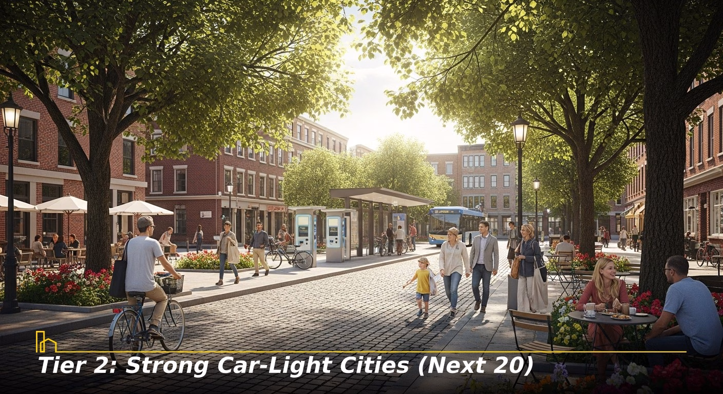
These cities host extensive, viable car-free living in specific, well-defined neighborhoods. Residents may occasionally use a car-share or rental for longer trips, but daily life is comfortably conducted on foot, bike, or transit. These represent some of the best value and lifestyle balances in the nation.
- Cambridge, Massachusetts (93/100): Functionally an extension of Boston’s urban fabric but with its own identity. Home to Harvard and MIT, it’s a dense, intellectually vibrant city with superb walkability, the Red Line subway, and a protected bike lane network rivaling the best in the nation.
- Jersey City, New Jersey (92/100): The “sixth borough” has evolved into a destination of its own. Neighborhoods including Downtown provide Manhattan-like density and walkability with stunning NYC views, connected by the PATH train (subway to NYC), light rail, and ferries.
- Pittsburgh, Pennsylvania (85/100): A city of distinct, hilly neighborhoods connected by a robust bus system and inclines. Shadyside and Lawrenceville boast vibrant, walkable main streets with all daily necessities, making car ownership optional for many.
- Oakland, California (87/100): San Francisco’s grittier, sunnier sibling with its own vibrant heart. Neighborhoods including Rockridge and Temescal offer BART subway access and exceptional walkable commercial corridors, providing a more affordable West Coast car-free base.
- Miami, Florida (Specific Areas) (83/100): Beyond the car-centric sprawl lies a foot-forward, transit-served urban core. Downtown, Brickell, and Edgewater are dense, vertical neighborhoods with the Metromover (free automated people-mover), Metrorail, and CitiBike making daily life without a car feasible.
- Atlanta, Georgia (Specific Areas) (83/100): The poster child for sprawl is building a walkable future. BeltLine trail/transit project is transformational, connecting in-town neighborhoods like Midtown, Old Fourth Ward, and Inman Park into a cohesive, bikeable, and walkable network, supported by MARTA rail.
- Long Beach, California (82/100): A more relaxed, beachside alternative to LA. Its downtown is vibrant and explorable on foot, with the Metro Blue Line providing a direct rail connection to downtown LA. The beachfront bike path and growing bike network add to its appeal.
- Providence, Rhode Island (81/100): Charming, compact New England city with a walkable downtown and neighborhoods, notably College Hill and Fox Point. RIPTA bus service is consistent, and the city’s scale makes biking easy. An Amtrak hub for Northeast Corridor trips.
- Baltimore, Maryland (80/100): A city of historic, walkable neighborhoods, each with a unique identity. The Charm City Circulator (free buses) and light rail connect key areas. Neighborhoods like Federal Hill and Canton offer main street walkability and waterfront access.
- Madison, Wisconsin (84/100): Built on an isthmus between two lakes, Madison’s geography encourages dense, active living. While its bus system is pristine for a city its size, this truly shines for biking, with an extensive network of trails and protected lanes.
- New Orleans, Louisiana (82/100): Life is lived on the street in this unique city. The French Quarter and Marigny are inherently walkable with daily needs close by. Streetcars on St. Charles and Canal provide historic, reliable transit.
- Honolulu, Hawaii (Urban Core) (81/100): In walkable urban Honolulu, TheBus is one of the nation’s premier public bus systems. Neighborhoods like Kaka’ako and Makiki are dense and mixed-use. The year-round temperate climate is perfect for walking and biking.
- St. Louis, Missouri (Specific Areas) (79/100): The historic core and central corridor are highly walkable and served by a new light rail extension. Neighborhoods including the Central West End and The Grove offer street-level vibrancy, forest park access, and reliable transit to downtown.
- Cleveland, Ohio (78/100): Underrated gem with a compact, walkable downtown (The Avenue District, Ohio City) connected by the HealthLine bus rapid transit, which functions like light rail.
- Kansas City, Missouri (Downtown/Crossroads) (77/100): Its downtown and Crossroads Arts District have undergone a walkability renaissance. The KC Streetcar (free) connects the riverfront to Union Station, creating a viable, dense core where living without a car is seamless.
- Richmond, Virginia (79/100): Historic city with a thriving, walkable downtown and adjacent neighborhoods like The Fan and Church Hill. The GRTC Pulse bus rapid transit line connects key corridors.
- Tucson, Arizona (76/100): A sun-drenched city with a commitment to complete streets and biking. The Sun Link streetcar connects the University of Arizona, downtown, and the Mercado District.
- Nashville, Tennessee (Urban Core) (75/100): Beyond the honky-tonks, neighborhoods including The Gulch and 12 South offer walkable, mixed-use living. While still car-centric overall, these specific areas make car-light living possible for urban professionals.
- Sacramento, California (80/100): California’s capital has a flat, gridded downtown and Midtown ideal for biking and walking. The light rail system is extensive, and neighborhoods like Midtown are packed with restaurants, shops, and services.
- Dallas, Texas (Specific Areas) (74/100): In select nodes, DART light rail makes car-free living workable. Deep Ellum can be walked through and artsy, Uptown has the McKinney Avenue trolley, and Bishop Arts is a walkable village.

Related article
Tier 3: Emerging Walk & Ride Communities (Final 20)
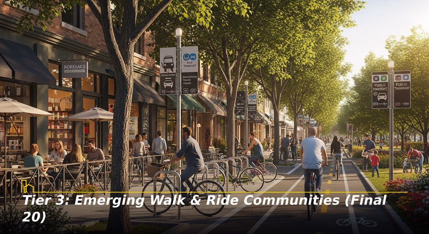
These cities have identifiable neighborhoods or a clear trajectory where living with one car is simple and going fully car-free is a committed, viable choice. They often feature a convenient walkable downtown, useful transit project (streetcar, BRT), or exceptional bike infrastructure. This represents opportunity and a lower entry point into a less car-dependent lifestyle.
1. Salt Lake City, Utah (80/100): A surprisingly walkable downtown centered on Temple Square, with a free fare zone for buses and light rail (TRAX). The Sugar House neighborhood is a walkable node with a streetcar connection.
2. Austin, Texas (Core & Mueller) (81/100): While largely car-dependent, its core is changing. Downtown is becoming more residential, and the Mueller development is a national model for walkable, mixed-use living. Bus service is improving, and protected bike lanes are expanding.
3. Charlotte, North Carolina (77/100): The LYNX Blue Line light rail is the backbone of car-free living, connecting South End (a massive live-work-play transformation) to Uptown (downtown) and UNC Charlotte.
4. Indianapolis, Indiana (76/100): The Cultural Trail, an urban bike/ped path connecting key districts, is a game-changer. Neighborhoods including Fountain Square and Mass Ave are walkable and connected by this trail.
5. Columbus, Ohio (75/100): A rapidly growing city investing in its core. The Short North Arts District (along High Street) is highly walkable and served by frequent buses.
6. Milwaukee, Wisconsin (78/100): A legacy of compact, walkable neighborhoods. The Hop streetcar connects downtown districts, and neighborhoods like the East Side and Walker’s Point are dense with amenities.
7. Albuquerque, New Mexico (73/100): Offers a sunny, affordable alternative. Its historic Nob Hill district along Central Avenue (Route 66) is best enjoyed on two feet and served by the ART bus rapid transit line.
8. Tampa, Florida (Specific Areas) (72/100): Downtown along the Riverwalk is becoming a pleasant area for a stroll. The TECO Line Streetcar connects downtown to the Channel District and Ybor City.
9. Raleigh, North Carolina (74/100): Their downtown (especially the Warehouse District) is seeing a residential and walkability boom. R-LINE is a free circulator bus.
10. Oklahoma City, Oklahoma (71/100): A testament to transformative public investment. The Streetcar loop connects downtown, Automobile Alley, and Midtown.
11. Grand Rapids, Michigan (73/100): A vibrant mid-sized city with a highly walkable downtown centered on the Grand River. The DASH bus system provides free circulator service. Neighborhoods including Eastown and Heritage Hill are walkable.
12. Fort Lauderdale, Florida (Downtown/Las Olas) (72/100): Moving beyond being a Spring Break haven, downtown is adding residential density and the Las Olas Boulevard shopping/dining corridor is inherently walkable and bike-friendly.
13. Boise, Idaho (70/100): An outdoorsy city with a flat, gridded downtown that’s highly walkable and bikeable. The Boise River Greenbelt trail system is a major asset.
14. Chattanooga, Tennessee (71/100): A pioneer in downtown renaissance. Its riverfront and the Electric Shuttle (free downtown circulator) make the core navigable without a car.
15. Omaha, Nebraska (69/100): Its downtown and Old Market district are cobblestone-street treasures. The ORBT bus rapid transit line connects downtown to West Omaha.
16. Des Moines, Iowa (70/100): Iowa’s capital has invested heavily in a walkable downtown, connected by the D-Line (free hybrid bus/circulator). The Skywalk system aids pedestrian movement in harsh winters.
17. Little Rock, Arkansas (68/100): The River Market District and downtown are pleasant and ideal for walking along the Arkansas River. The Rock Region Metro streetcar system connects key downtown areas.
18. Spokane, Washington (67/100): The Central City Line (a new electric bus rapid transit) will connect downtown to Browne’s Addition, boosting car-free potential.
19. Greenville, South Carolina (69/100): A model for downtown revitalization. Main Street is a beautiful, tree-lined, walkable corridor that makes living car-light a major draw.
20. Reno, Nevada (66/100): Its downtown along the Truckee River Walk is becoming more residential and walkable. The RTC RAPID bus service provides frequent connections.
Conclusion: The decision to pursue a car-free or car-light lifestyle is a clear path toward financial savings, improved health, and richer community connections. This guide proves that the infrastructure for this life exists not only in coastal behemoths, but in 50 specific neighborhoods across the country. Your success hinges on matching your needs to a neighborhood’s strengths: prioritize high Transit Score for long commutes, or high Bike Score for independent, spontaneous travel. Cities are actively funding and building the future of livable, less car-dependent cores.
Recommended for you


FAQs Walkable Neighborhoods: Top Car-Free Communities in the U.S.
1. Are there any truly car-free cities in the U.S. outside of New York?
While no major U.S. city is 100% car-free, downtown cores and specific districts of San Francisco, New York, Boston, Washington D.C., and Chicago offer such complete walkability and transit that car ownership is a choice, not a necessity.
2. How do I handle errands like large grocery trips or home projects without a car?
Car-free living relies on a toolkit: grocery delivery (Instacart, Amazon Fresh), rentals (Zipcar, traditional agencies for grand trips), and rideshare (Uber/Lyft). In walkable neighborhoods, smaller, more frequent trips to local markets become standard.
3. I work remotely. Does that change which car-free neighborhood is best for me?
Absolutely. It expands your options. Instead of prioritizing a commuter rail line, you can prioritize neighborhood vibe, fiber internet access, and proximity to cafes and coworking spaces. Emerging cities with great walkable cores (e.g., Greenville, SC or Boise, ID) have opened the doors for many.
4. Is car-free living more or less expensive than living with a car?
It’s typically a significant net savings. The American Automobile Association (AAA) estimates annual car ownership costs exceed $10,000. Without car payments and maintenance, you can often allocate a larger budget to housing in desirable locations, though high housing costs are often offset savings.
5. How important is a city’s Bike Score versus its Transit Score for going car-free?
They serve as complementary redundancy. Outstanding Transit Score is crucial for longer trips, bad weather, and accessing the full city. Standout Bike Score gives you independence, exercise, and spontaneity for shorter trips.
6. What should I look for to feel safe as a pedestrian or cyclist in a new neighborhood?
Look for physical infrastructure: continuous sidewalks, clearly marked crosswalks with pedestrian signals, protected bike lanes (separated from traffic by a curb or barrier), and good street lighting. The presence of many other people walking and biking is also a key indicator of safety.
7. Are cities actively improving conditions for car-free living, or is progress slowing?
Momentum is on their side. Federal funding through the Infrastructure Investment and Jobs Act is flowing to transit, bike/pedestrian projects, and complete streets initiatives. The trend is clear: cities are competing to create sustainable, less car-dependent cores.
Share